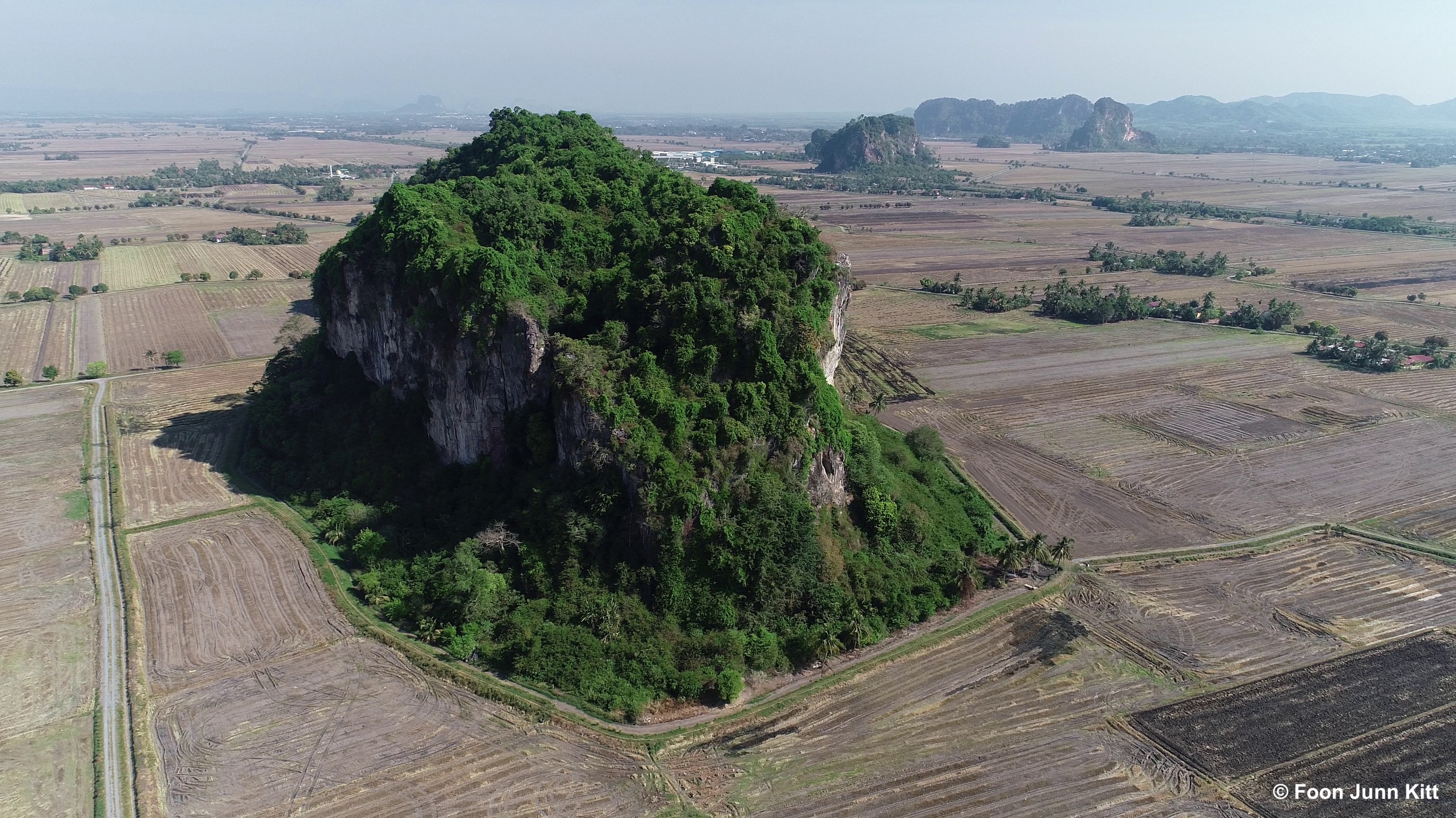
Hi all!
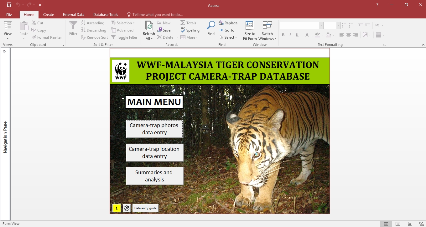
Since Shariff Wan Mohamad from WWF-Malaysia originally posted his camera-trap database in Rimba’s Biologist Toolbox in 2012, a number of data management solutions have been developed by various researchers and organisations; some of which are freely available online. To join in the fun, he has decided to post a long overdue updated version of his camera-trap database, which he only just recently finalised. Some of the main improvements integrated into this database are listed below:
- Added the ability to automatically fill up subsequent records of the same event based on customisable time interval between photos
- Added a function to automatically filter records into independent events based on customisable time interval
- Added direct output of daily capture matrix files for PRESENCE and SECR
- Added an option to physically export good photos and photos of selected species to a folder in Windows
- Added a more detailed user guide
You can download version 161018 of the database here.
You can also download the same database with some sample data here, to see how the outputs look like.
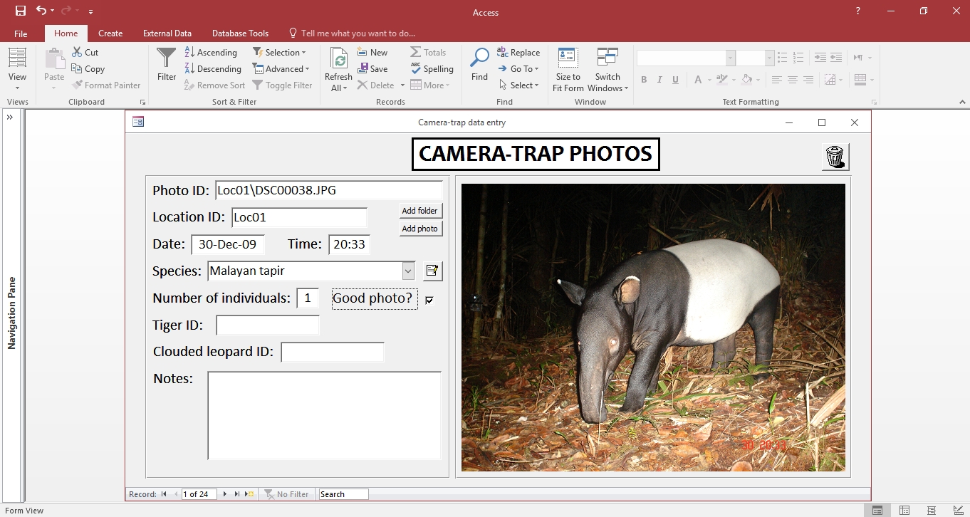
Inputting data into the database is relatively simple; you only have to fill in two forms – one for camera-trap locations and one for the photo data. The results will be compiled automatically. However, make sure to read the data entry guide in the database beforehand! If your existing camera-trapping data are in MS Excel spreadsheets or a similar format, it can be imported into this database.
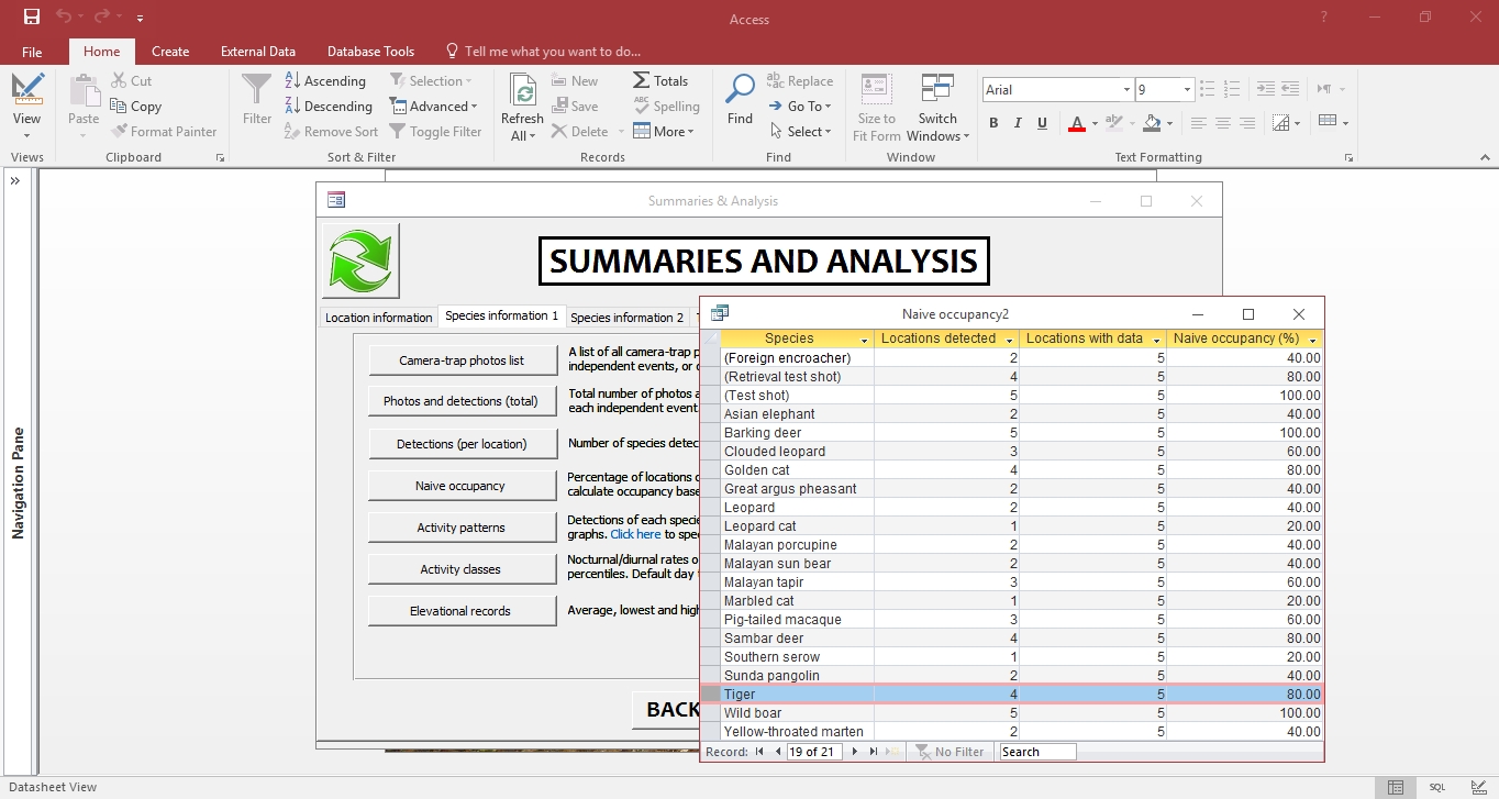
Shariff won’t go into details about the summaries and analysis outputs; you can see the results for yourself in the database which contains sample data. Most of the outputs are pretty basic and easy to understand. Some of the main automated outputs are:
- Trapping efforts
- Distance between camera-trap locations
- Naïve occupancy
- Relative abundance
- Activity patterns
- Occupancy matrix for input into software PRESENCE
- Data sheets for population density analysis in SECR
As mentioned earlier, there are already a number of camera-trap database solutions currently available. Shariff recommends testing out these alternatives before deciding on which one to use, or even before choosing to develop your own. The best way to gauge which solution is best would be to input a sample of your data into the database and see what the outputs look like – then you would be able to assess whether it is suitable for your use or not.
If you don’t have MS Access the data entry can still be run via a free version called MS Access Runtime, although there are limitations in customizing or editing the database. The current version of this database was tested on MS Access 2016 (32 bit and 64 bit) on the Windows 10 platform.
Anyway that’s the general overview of Shariff’s database; if you have any inquiries then he is willing to assist in any way he can. If the results of this database are used for any publications or reports, please credit WWF-Malaysia. Hope this helps!
Shariff can be contacted at: shariff1mohamad AT gmail DOT com.